
Take Flight, AirMap by DroneUp
AirMap for Drones, Setup and In-Flight App
Tech And Tools – Fly With Confidence – Airmaps
Get FAA approval to fly with AirMap by DroneUp… Are you looking for FAA compliant drone flight apps? Airmap makes flying easy and understandable. Fly with confidence while staying within legal requirements and having the knowledge to fly approved.
From installation to usage, AirMap by DroneUp for iOS or Airmap – for Android will help you understand what is happening in the airspace above you, how to fly with approved FAA flight status, log your flights, and more.
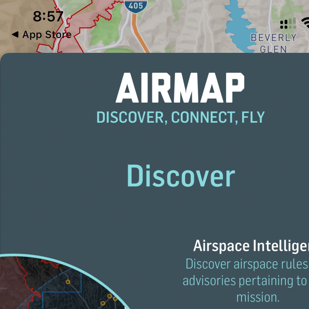
Airmaps iOS And Android
Welcome

Connect
Log In
FAA Plan
Zones
Search
Restrictions
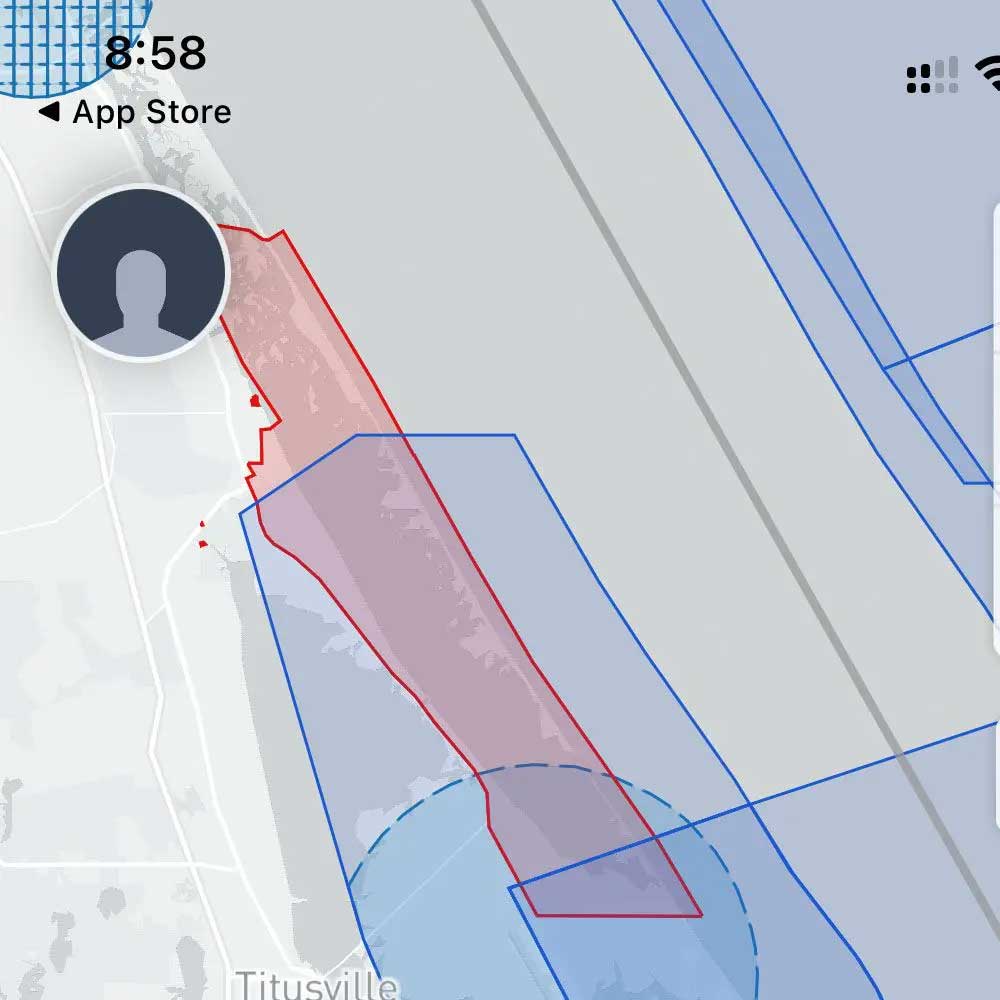
Brevard County
From t’s & c’s, to maps, flight logs and FAA approval to fly safely, make sure th get approved with FAA-approved flight requests. Check Kennedy Space Center to learn about the airspace above and around Kennedy. Familiarize yourself with the warnings and requirements, as well as the maps and flight restriction in and around the areas within your airspace.
Need more flight apps, or drone apps for flight approval? Leave us a comment below and we will find some additional drone apps for you. While you’re here take a look at other FAA related articles, FAA Hurricane Update from 10/1 and FAA Drone Safety from 4/19. Although these articles are now archived, it’s important to remember that drone flight rules are drone rules. Most importantly, make sure to stay compliant and safe while flying.